The Leisure Walking Systems Working Group (LWSWG) was a three-month academic-industry impact initiative funded by the Horizon CDT Impact Grant (EPSRC EP/S023305/1). It brought together academic researchers, walking system developers, GIS organisations, and public health practitioners to address a persistent gap: the absence of shared, interoperable standards for representing place in leisure walking applications.
Modern navigation apps are highly capable at getting people from A to B efficiently. But for leisure walking, efficiency is not the goal — experience is. Current systems cannot answer the questions that matter most to recreational walkers: Is this route scenic or bleak? Is it safe alone at night? Does it pass anywhere worth stopping? These qualities are real and meaningful, but they exist nowhere in standard geospatial formats. LWSWG set out to change that.

The Problem with Walking Data
Walking applications sit at an awkward intersection of geospatial infrastructure and human experience. The data pipelines they depend on — road networks, points of interest, terrain models — were built for logistics and navigation, not for the nuanced, subjective act of choosing a pleasant route.
Three structural problems compound this:
Data fragmentation — Environmental quality data, safety indices, cultural heritage information, and accessibility records are held by different organisations with incompatible schemas, licensing terms, and update cadences. No single walking app can integrate all of it.
The representation gap — Even where data exists, formats like GeoJSON offer a flat bag of properties. There is no standard vocabulary for encoding how a place feels — its openness, noise level, social character, or sense of safety.
Evaluation blindspots — Most walking apps are tested for technical correctness (does the route work?) rather than experiential quality (was it a good walk?). The research and practitioner communities lacked shared evaluation methods.
Research Areas
The working group structured its output across three interconnected knowledge domains, producing 25+ technical documents across 8 research areas.
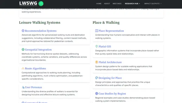
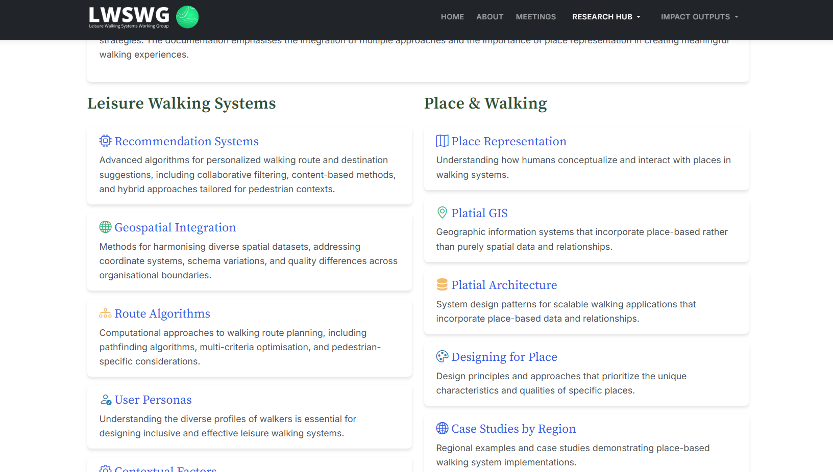
Leisure Walking Systems
The foundational domain covers the computational infrastructure of walking apps: recommendation system architectures (collaborative filtering, content-based, hybrid), route algorithms (pathfinding, multi-criteria optimisation, pedestrian-specific constraints), walkability metrics and their operationalisation, app type comparisons, geospatial integration methods, and contextual factor modelling (weather, time of day, personal mobility).
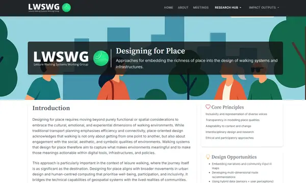
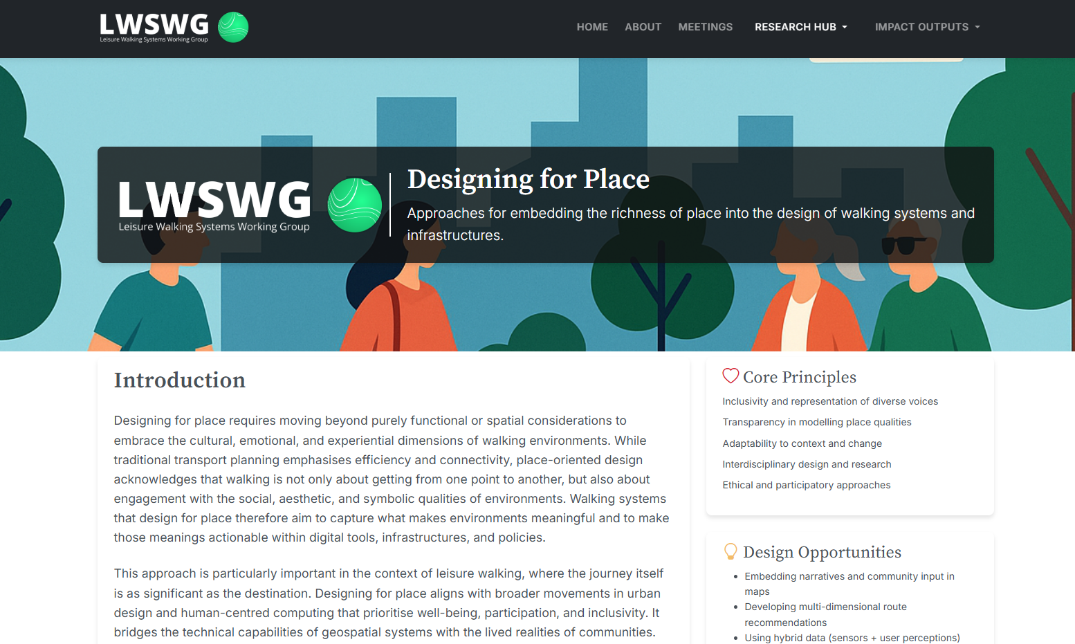
Design for Place
A dedicated design research strand addressed how walking interfaces should behave differently from navigation apps. Key outputs covered accessibility-first design, route interface patterns that reduce screen time, the design of slowness and serendipity — building in affordances for discovery rather than efficiency — use-case comparisons across walker profiles, visual cue systems for environmental quality, and the broader philosophy of designing for place rather than destination.
Methods & Evaluation
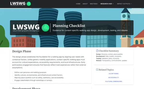
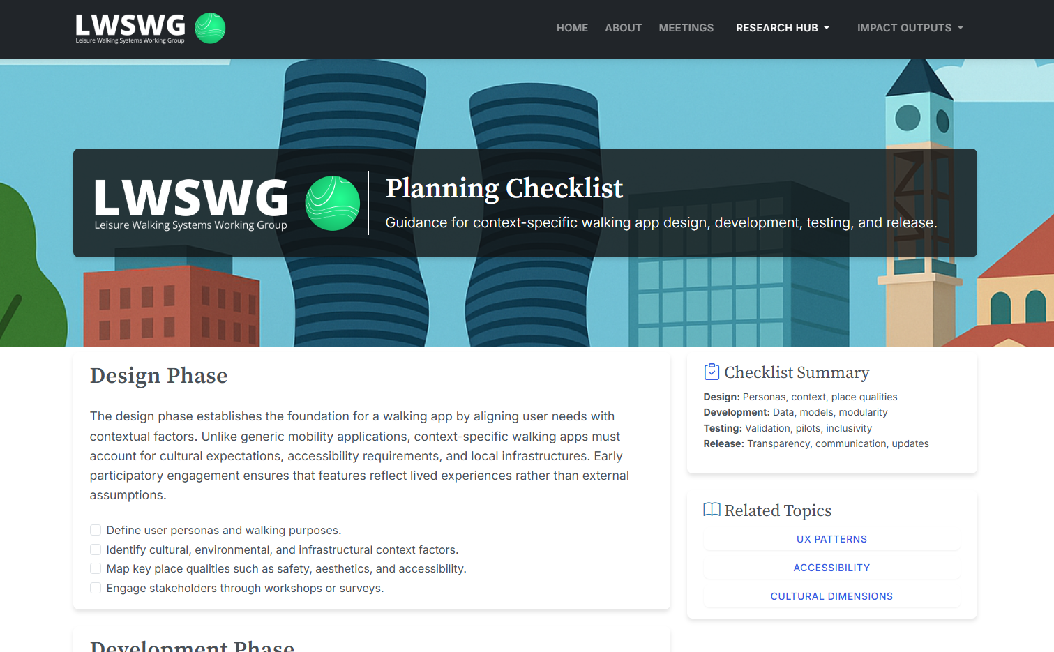
The third domain addressed how to research and test walking systems rigorously. Outputs included a framework for capturing place qualities (subjective vs objective measures), ethical considerations for research involving vulnerable users in urban environments, a comparative evaluation framework, research methodology guidance, and the flagship Planning Checklist — a structured, phase-by-phase guide for walking app design, development, testing, and release.
The Knowledge Hub
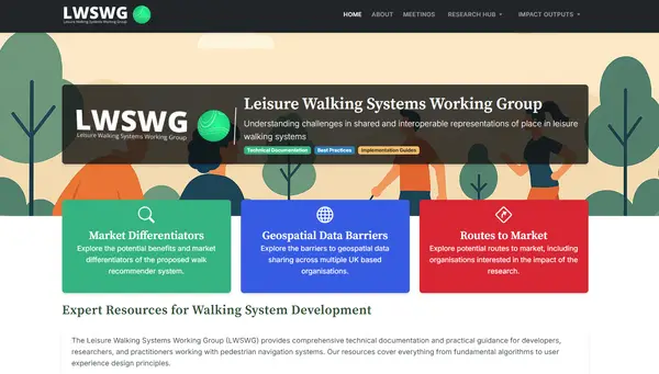
All outputs are published as a freely accessible web platform at lwswg.jwilliams.science. The site is structured as a practitioner-facing knowledge base — not an academic archive — with direct pathways for developers new to walking systems (“Begin Learning”) and those ready to build (“View Checklist”).
The platform is designed for long-term access without institutional gatekeeping. Any developer, researcher, or local authority working on pedestrian systems can use the documentation directly.
Key Deliverables
The three-month grant produced four primary deliverables:
- Benefits & Market Differentiators — a structured analysis of the competitive advantages of improved place representation, aimed at helping developers make the case for investing in platial data infrastructure
- Digital Knowledge Platform — the LWSWG website, built to persist beyond the grant period as an open community resource
- Planning Checklist — a phase-by-phase implementation guide covering design, development, testing, and release of context-specific walking apps
- Technical Report — a synthesis of findings across the three research domains, documenting the state of the field, the identified gaps, and the working group’s recommendations
Research Significance
Walking is one of the most studied behaviours in urban health research — and one of the least well-served by the technology designed to support it. The LWSWG’s contribution is not a new algorithm or dataset; it is a shared frame of reference. By producing open documentation that bridges academic concepts (platial GIS, environmental psychology, space syntax) and practitioner needs (APIs, schemas, evaluation protocols), the initiative lowers the barrier for the next generation of walking applications to be built on better foundations.
The impact grant model — short, focused, industry-oriented — proved well-suited to this kind of knowledge transfer work. The outputs are designed to be immediately usable: a developer can read the Planning Checklist, apply the UX patterns, adopt the evaluation framework, and produce a better walking app without needing a research background.
Walking systems that understand place, not just coordinates, are a prerequisite for the kind of active travel interventions that public health and urban design communities have been calling for. LWSWG provides the conceptual and practical groundwork to build them.